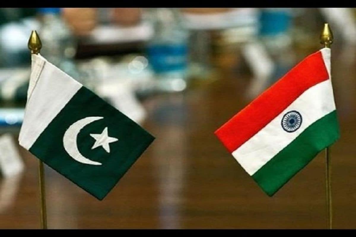
On the eve of the anniversary of abrogation of Article 370 and in a bid to further internationalise the issue of Kashmir, Pakistan on Tuesday issued a new map showing all of Kashmir as part of its territory. The map includes not just parts of Jammu and Kashmir and Ladakh but also Junagarh in Gujarat.
The map also includes Junagarh, which means Pakistan is questioning the February 1948 plebiscite.
India dismissed Pakistan’s move as “an exercise in political absurdity”, saying it was laying untenable claims to territories in the Indian state of Gujarat and “our Union Territories of Jammu and Kashmir and of Ladakh”. The statement from the Ministry of External Affairs (MEA) further said “these ridiculous assertions have neither legal validity nor international credibility”.
“In fact, this new effort only confirms reality of Pakistan’s obsession with territorial aggrandisement supported by cross-border terrorism,” it added.
The map was given a nod by Pakistan Prime Minister Imran Khan’s cabinet after which his government “unveiled” it. Khan termed it as a significant and big day, saying the release of the map was the first step in realising the long-cherished dream of making Kashmir theirs.
Khan, in fact, drew parallels between his ambition to be a world-famous cricketer from the age of nine with that of Pakistan’s desire to have Kashmir as part of its territory.
Pakistan Foreign Minister Shah Mahmood Qureshi said, “Humari manzil Srinagar hai (our destination is Srinagar).”
Gujarat CM slams Khan
Gujarat Chief Minister Vijay Rupani lashed out at Khan, calling the changes in the map “preposterous”.
“This so called “political map” of Pakistan released by Prime Minister Imran Khan today is a glaring example of how disconnected Pakistan PM is with ground realities. Pakistan will never succeed in its wicked design of undermining the unity and integrity of India,” Rupani tweeted.
“This action of Pakistan is both preposterous and obnoxious. Gujarat condemns this absurd act of Pakistan unequivocally,” he added.
In Pakistan’s new map, the part of Kashmir and Ladakh border with China was not marked and described as “Frontier Undecided”. Similarly, the Line of Control had been extended to the Karakoram Pass, showing Siachen as part of Pakistan. The LoC had been marked by a red dotted line.
Another change in the map showed that the international border lines “lies along the eastern bank” of Sir Creek, which was previously along the western bank.
The Pakistan cabinet also approved the decision to rename a major road in Islamabad as Srinagar Highway. The road was previously called Kashmir Highway.
The controversial changes were made a day before the first anniversary of India’s decision to revoke the special status of Jammu and Kashmir on August 5, 2019.
Just months ago, India’s other neighbour Nepal released a new map showing the Indian territories of Limpiyadhura, Kalapani and Lipulekh. Even as India rejected the move, the KP Sharma Oli-led government went ahead and passed the map through a constitutional amendment. India’s Army Chief General MM Naravane had indicated this was being done at the behest of China.