The government has appointed a consultant to work on this plan, he said.
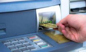
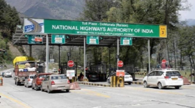
The Transport Ministry of India introduced the FASTag facility to eliminate the problem of waiting in a long queue at a toll plaza. It reduces the time spent at toll plazas from 734 to 47 seconds; but still, people have to stop at the toll in case of technical problems.
18% GST Applicable On Battery ChargingFor Electric Vehicles, Says Karnataka AAR
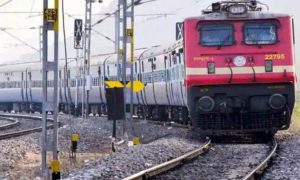
Now, the Transport Ministry is going to introduce another advanced technology to ease commutation. According to an ABP Live report, it is called the Global Navigation Satellite System or GNSS. This will resolve the issue of traffic jams at the toll plaza. Nitin Gadkari, Minister of Road Transport and Highways, India informed about this in the Rajya Sabha session on Friday, July 21. He answered this to a question raised by Shankar Lalwani, Member of Parliament from Indore. Lalwani had asked about the steps undertaken by the Government of India to curtail the traffic jam at the toll plaza. On this, Nitin Gadkari said that gate-free plazas based on GNSS will be constructed in the country soon. Due to this, people will not have to stop at the plaza. The government has appointed a consultant to work on this plan, he said.
In addition, the Ministry of Road Transport and Highways is working on a pilot project involving an automatic number plate recognition system (automatic number plate reader cameras) to enable automatic toll collection without stopping vehicles.
Read More: Vastu Shastra For Family: 5 Simple Tips To Encourage Happiness And Peace At Home
Now, the question is what is the Global Navigation Satellite System?
GNSS allows an electronic receiver or device to determine its high location with high precision. This system determines it through longitude, latitude, and altitude. It provides navigation, position, or tracking. These services are collectively called positioning, navigation, and timing (PNT) and can be used for regional and global level services. A satellite navigation system with global coverage, providing signals from space that transmit positioning and timing data to GNSS receivers is called Global Navigation Satellite System. The global coverage is generally received by a constellation of satellites, usually 20-30 MEO (Medium Earth Orbit) satellites spread between many orbital planes.
How does GNSS road pricing work?
Read More: Exclusive: 5 Vastu tips to earn money and bag the dream job – check astrologer’s advice
The On-Board Unit or In-Vehicle Unit fitted in the vehicle records the position and the time with GNSS. OBU or the On-Board Unit converts this distance and time into the trip data. This trip data is compared with the already published toll charges and calculates the actual road trip charges called the Charge Data Record. This CDR can be billed one-time or periodically and can be paid via a linked bank, digital wallet etc.