According to the agency’s forecast, a new Western Disturbance is expected to impact northwest India starting today. Along with it, this disturbance will paint a variety of scenarios for the Indian states.
In its most recent weather update, the Indian Meteorological Department has outlined a range of occurrences, including heavy rainfall and hailstorms, forecasted for various states across India.
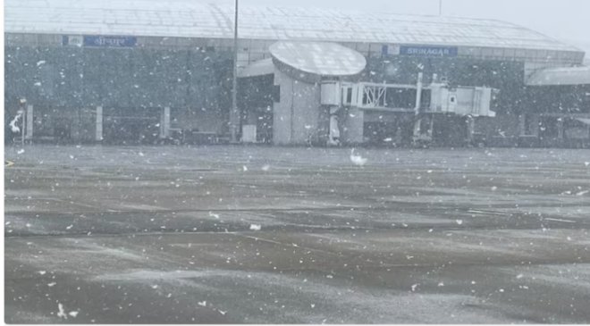
Fresh Western Disturbance in northwest India
According to the agency’s forecast, a new Western Disturbance is expected to impact northwest India starting today. Along with it, this disturbance will paint a variety of scenarios for the Indian states.
Under its influence, between February 17 and 22, fairly widespread to widespread light to moderate rainfall or snowfall, along with thunderstorms and lightning, is expected over the Western Himalayan Region including Jammu-Kashmir-Ladakh-GilgitBaltistan-Muzaffarabad, Himachal Pradesh, and Uttarakhand. Heavy rainfall is likely at isolated places in Jammu-Kashmir-Ladakh-Gilgit-Baltistan-Muzaffarabad and Himachal Pradesh on February 18 and 20, and over Uttarakhand on February 20. Very heavy rainfall is also expected at isolated places in these regions on February 19.
Hailstorm activity is forecasted at isolated places over Jammu division on February 18, over Himachal Pradesh on February 18 and 19, and over Uttarakhand from February 18 to 20.
Read More: Paytm crisis: More payment banks may face regulatory action, says report
Scattered light to moderate rainfall is likely over Punjab and Haryana-Chandigarh-Delhi from February 19 to 21, over West Uttar Pradesh from February 19 to 22, over East Uttar Pradesh and north Madhya Pradesh from February 20 to 22, and over north Rajasthan from February 19 to 20.
Besides this, isolated thunderstorms, lightning, and gusty winds (with speeds reaching 30-40 kmph gusting to 50 kmph) are very likely over Punjab from February 18 to 20, and over Haryana-Chandigarh-Delhi, West Uttar Pradesh, and north Rajasthan on February 19th and 20th.
Hailstorm activity is expected at isolated places over Punjab, Haryana, and West Uttar Pradesh from February 19 to 20.
Scattered to fairly widespread light to moderate rainfall accompanied by thunderstorms, lightning, and gusty winds (with speeds reaching 30-40 kmph gusting to 50 kmph) is very likely over Punjab from February 18 to 20, and over Haryana-Chandigarh and West Uttar Pradesh on February 19 and 20.
Read More: PMLA Case: Jet Airways Founder Naresh Goyal Seeks Interim Bail To Treat ‘Slow Growing Cancer’
Foggy days in West Bengal, Sikkim, Bihar
Significant fog conditions are expected to persist during the morning hours in isolated areas of Sub-Himalayan West Bengal and Sikkim on February 17 and 18, and over Bihar and East Uttar Pradesh on February 17.
Rainfall in Northeast India
Due to a cyclonic circulation situated over central Assam and surrounding areas in the lower tropospheric levels, isolated light to moderate rainfall is highly probable over Arunachal Pradesh, Assam and Meghalaya, and Nagaland today.
Additionally, with a new cyclonic circulation/trough developing in the lower levels, widespread light to moderate rainfall or snowfall is expected across Northeast India from February 21 to 24.
Change in minimum temperature
Over the next 4 days, a gradual increase in minimum temperatures by 2-3°C is very likely over West India, the IMD said in its release.